Lot #427 - A.J Johnson- Massachusetts, Connecticut & Rhode Is
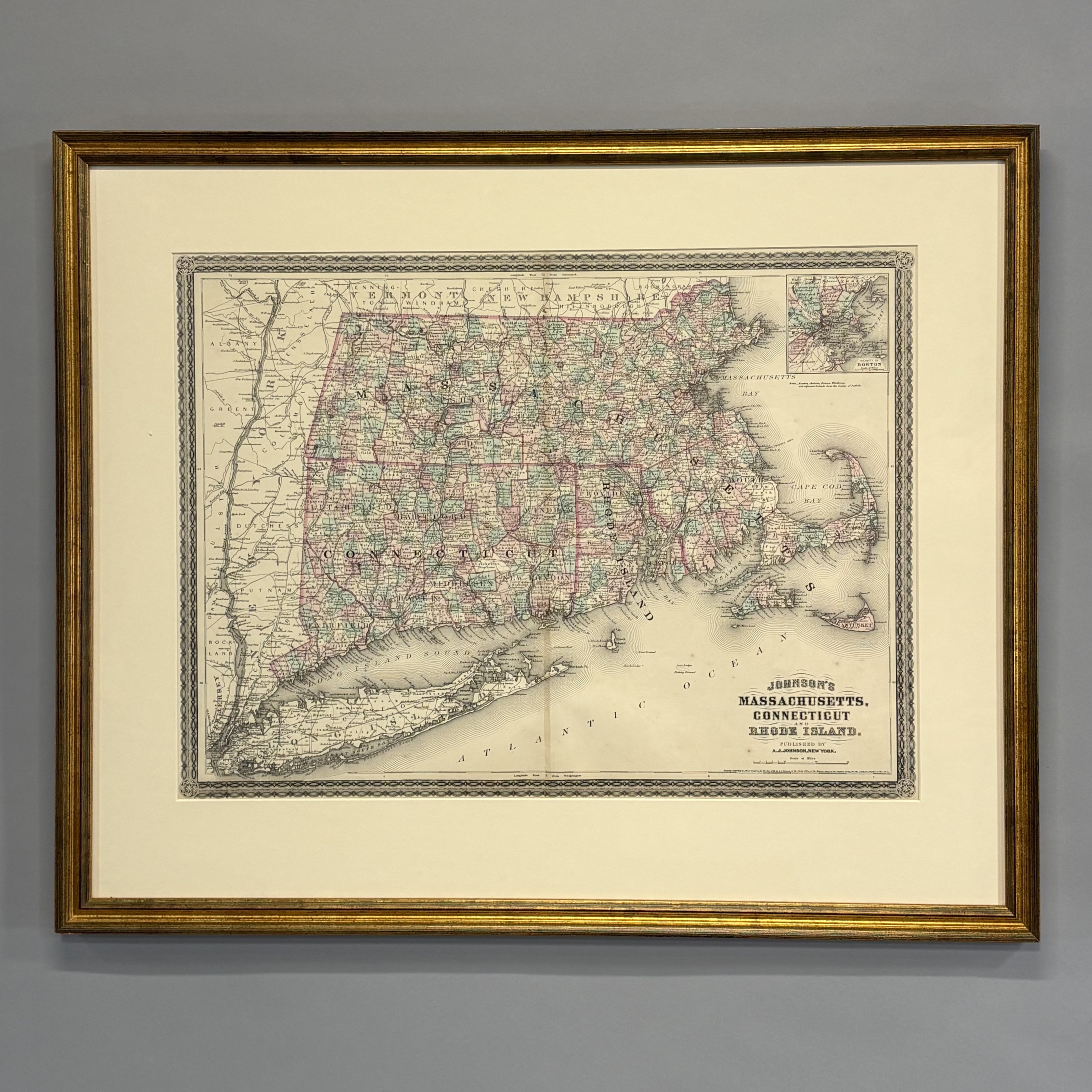
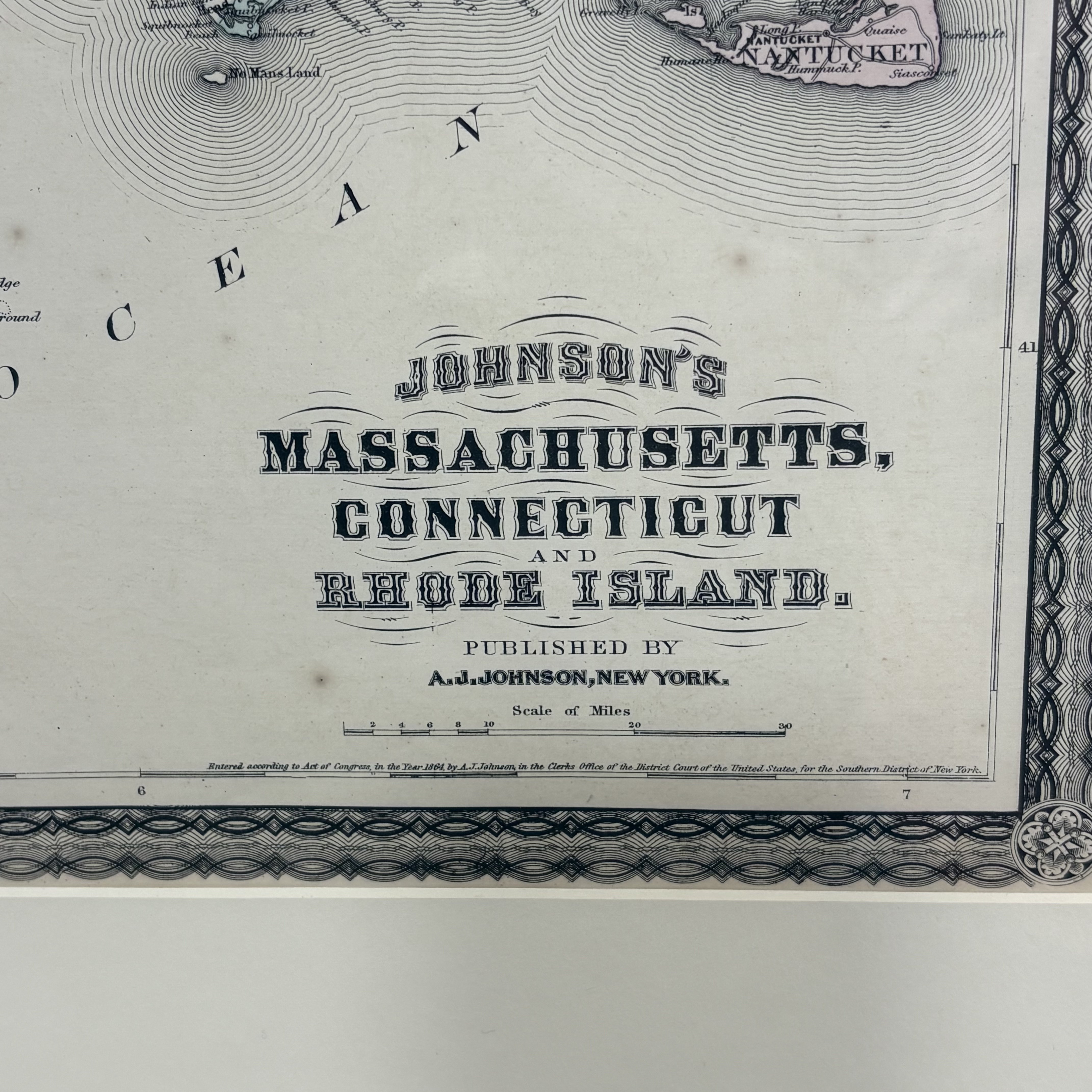
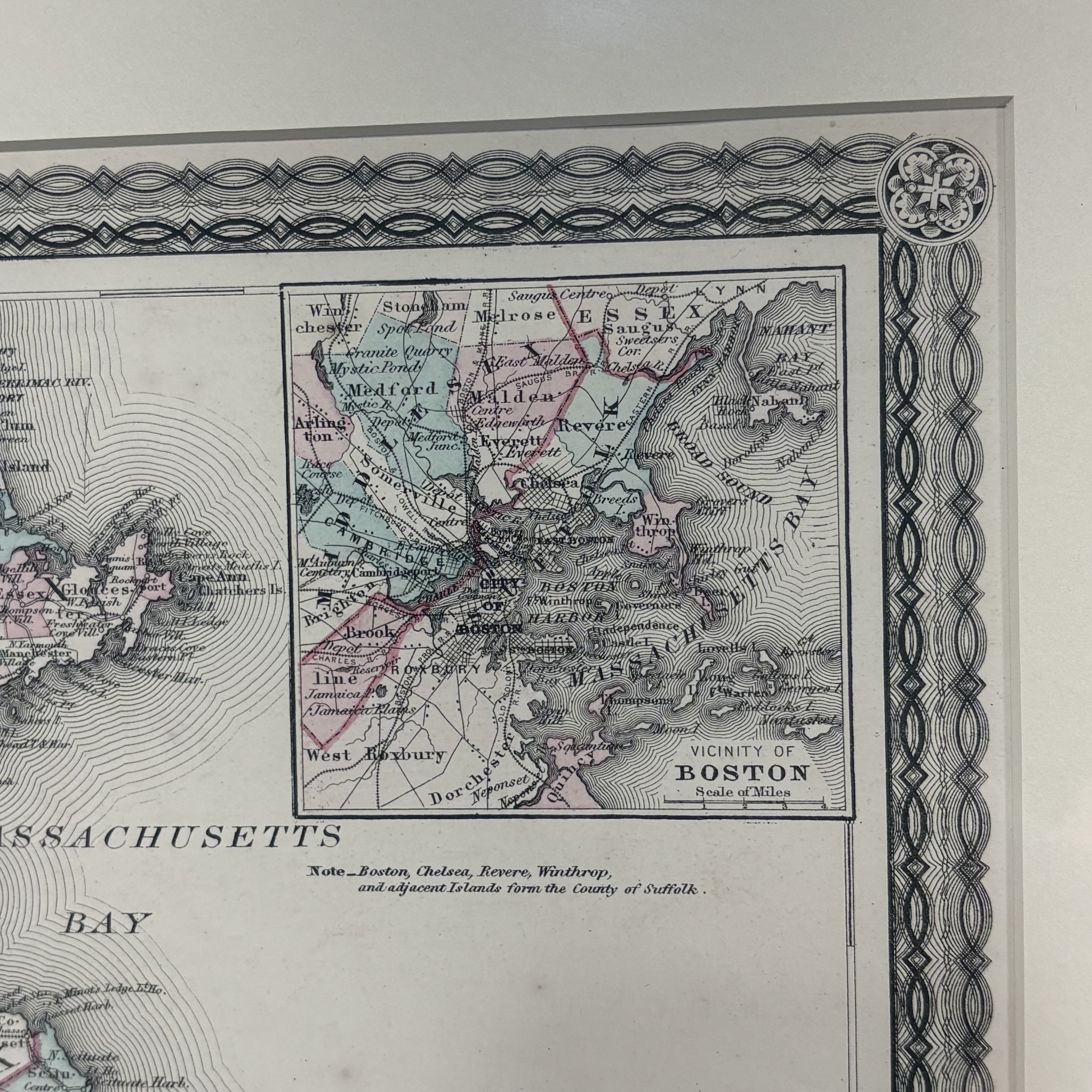
Alvin Jewett Johnson (American, 1827-1884) and Benjamin P. Ward (American, 19th Century). "Johnson's Massachusetts, Connecticut and Rhode Island" Map," 1864. Hand-colored lithograph, published by A.J. Johnson for publication as plate nos. 25 and 26 in the 1864 edition of his "New Illustrated Atlas," (17 x 23.25 inches, sight).
Frame: 24.75 in., W: 30.5 in., D: 0.75 in.